


I. Behind Real-World Incidents: Escalating Risks in Low-Altitude Airspace Management
Urban authorities worldwide are facing growing challenges as unauthorized drone flights and airspace violations increase year by year, placing mounting pressure on low-altitude security governance and drone regulation systems.
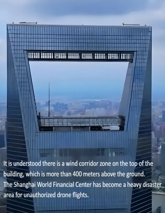
Public records indicate that approximately 95 drone-related incidents occurred in the vicinity of the Shanghai World Financial Center over the past nine years. Some of these took place in building wind corridor zones at altitudes exceeding 400 meters, resulting in damage to exterior facades and rooftop structures. An extreme case of illegal drone operation at around 8,000 meters was also reported in Zhongshan, Guangdong Province, posing potential risks to nearly 100 civil aviation flights.
As drone usage continues to expand, these incidents demonstrate that low-altitude security risks are evolving from isolated accidents into systemic governance challenges.
II. Industry Landscape: Growth of the Low-Altitude Economy and Challenges in Drone Regulation
The rapid development of the low-altitude economy has driven widespread adoption of unmanned aerial vehicles (UAVs) in logistics delivery, power inspection, emergency response, public security patrols, infrastructure monitoring, and aerial photography.
The number of registered drones in China has now exceeded 2.726 million, reflecting a highly dynamic and densely populated operating environment. Flight activities are characterized by diversified operators and multi-scenario deployment. Regulatory authorities therefore face unprecedented demands on low-altitude airspace management systems.
Under these conditions, supervision systems commonly encounter three major challenges:
Diversified Operators: Individual users, commercial service providers, and testing institutions coexist, creating complex accountability frameworks.
Complex Flight Behaviors: Temporary takeoffs, cross-regional operations, and excessive-altitude flights occur frequently.
Information Asymmetry: Many UAV operations are conducted without prior filing, making real-time monitoring and enforcement difficult.
Current regulations already provide a clear legal framework. The Interim Regulations on the Administration of Unmanned Aircraft Flights require approval for operations above 120 meters. The forthcoming Public Security Administration Law further classifies unauthorized drone flights as acts endangering public safety. Effective enforcement, however, relies heavily on advanced technical monitoring and airspace surveillance systems.
III. Limitations of Traditional Low-Altitude Security Control Models
Many cities still rely primarily on manual patrols, basic electronic fencing systems, and post-incident accountability to manage drone activities.
In complex urban environments, this traditional approach reveals clear limitations:
Limited coverage and extensive monitoring blind spots
Insufficient capability to detect low-altitude, small, and slow-moving UAV targets
Long response cycles for data collection and incident handling
Inability to support 24/7, high-density drone operations
High-rise clusters, airport clearance zones, critical infrastructure areas, and major event venues are particularly affected by these constraints. Conventional approaches in such environments can no longer meet modern low-altitude security requirements.
IV. Technology Upgrade Path: Fanyue Industrial Low-Altitude Intelligent Sensing Base Station System
Filling the gaps in traditional drone supervision requires a new generation of integrated monitoring infrastructure. In response, Fanyue Industrial has developed an intelligent low-altitude sensing base station system that combines detection, communication, and AI-powered data analytics.
This solution establishes a stable, scalable, and future-ready foundation for urban airspace security. It follows the principles of continuous monitoring, intelligent identification, and real-time coordination, delivering its core value through three key capabilities.
1. Comprehensive Coverage and Precise UAV Identification
Single-station coverage radius of approximately 1.5 kilometers with continuous 360-degree airspace monitoring
Differentiation between authorized and abnormal drone targets through deep data analysis and AI algorithms
Support for flight trajectory tracking, behavioral analysis, and risk assessment
Reliable performance in building wind corridors, complex terrain, and high-interference electromagnetic environments
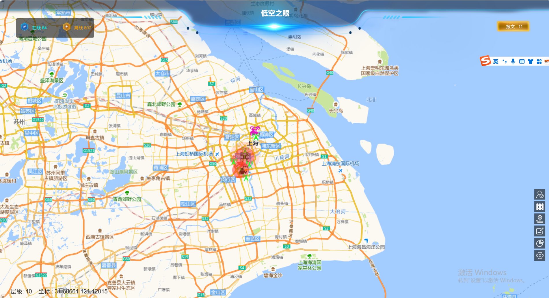
High-rise districts such as Lujiazui benefit from this capability. The system can identify high-risk behaviors, including drones crossing building wind tunnels, effectively overcoming the visibility and detection limitations of conventional monitoring equipment.
2. Proactive Early Warning and Coordinated Response Mechanisms
Built-in electronic fencing and intelligent rule engines
Automatic detection of unregistered, excessive-altitude, and high-risk UAV flights
Multi-level alerts triggered within seconds
Real-time synchronization with regulatory, public security, and command platforms
Early intervention at critical risk stages enables authorities to shift from reactive incident response to proactive risk prevention and airspace control.
3. Flexible Networking and Multi-Scenario Deployment Capability
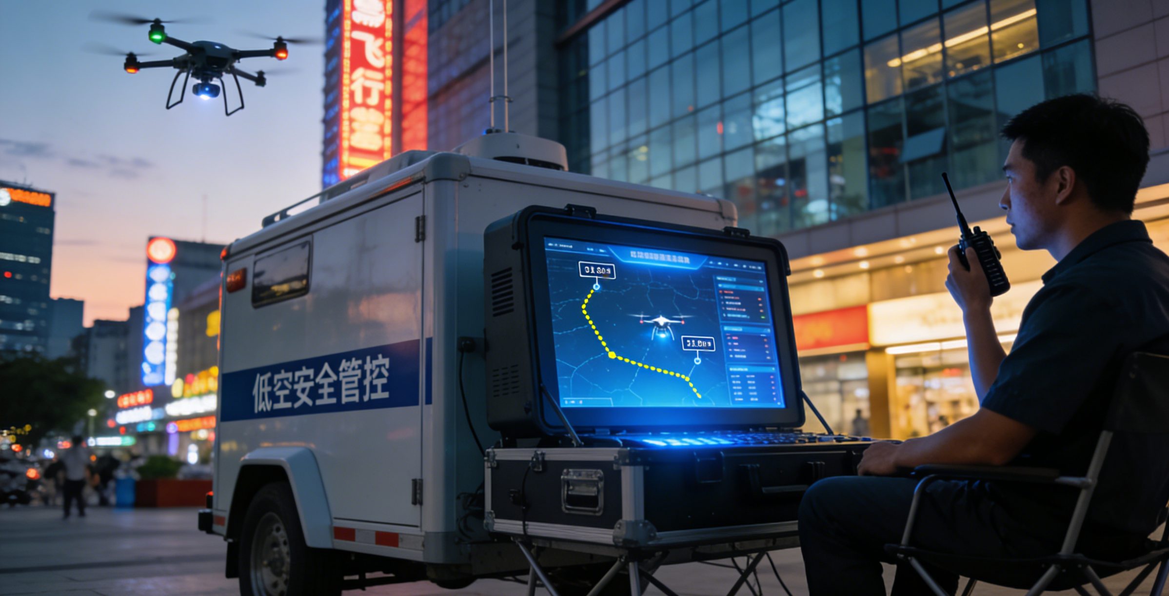
Support for rapid deployment and distributed base station networking
Compatibility with CBD cores, airport perimeters, ports, industrial parks, and large event venues
Integration with air traffic control, public security, emergency management, and smart city platforms
Establishment of a closed-loop workflow covering monitoring, analysis, response, and post-event review
This architecture provides stable security support for compliant drone applications such as low-altitude logistics, emergency rescue, and infrastructure inspection.

V. Practical Results: Performance Validation in Urban Drone Security Projects
Several pilot projects in selected central business districts have demonstrated the operational value of intelligent sensing infrastructure.
After the deployment of the Fanyue Industrial base station system, airspace order and regulatory effectiveness improved significantly.
Operational data indicate that:
Unauthorized drone flight incidents decreased by approximately 82% year-on-year
Seventeen potential safety risks were successfully detected and mitigated in advance
Average response efficiency of regulatory personnel improved substantially
Overall controllability and visibility of urban airspace continued to strengthen
These results provide strong empirical evidence for the system’s effectiveness in large-scale drone security and airspace governance projects.
VI. Future Outlook: Building a Sustainable Low-Altitude Airspace Governance Ecosystem
A resilient governance framework is essential for the long-term development of the low-altitude economy.
Reliable, scalable, and replicable security infrastructure forms the foundation of effective UAV management and airspace monitoring.
Fanyue Industrial will continue advancing its intelligent sensing base station system in response to evolving city-level operational needs.
Key development priorities include:
Enhancing multi-source data fusion and target recognition accuracy
Strengthening cross-departmental data collaboration and interoperability
Optimizing AI-driven decision-support and risk assessment models
Supporting large-scale, multi-city, and regional deployments
Standardized, modular, and platform-based system design will further promote the evolution of low-altitude governance toward higher intelligence, stronger system integration, and greater operational precision.
Conclusion: Making Safety the Foundation of the Low-Altitude Economy
Modern low-altitude security governance must move beyond post-incident response.
Risk prevention and drone compliance management need to be embedded at the earliest stages of flight operations.
Cities can achieve a sustainable balance between innovation, safety, and economic growth through intelligent sensing technologies, data-driven coordination mechanisms, and standardized regulatory workflows.
Fanyue Industrial remains committed to delivering trusted low-altitude security and drone monitoring solutions worldwide. The company works to ensure that every flight operates within a visible, controllable, and manageable framework, providing a solid foundation for the healthy development of the global low-altitude economy.

